Professional Aerial Photography in Newcastle, Lake Macquarie & the Hunter
Newcastle drone photography services provide a powerful way to capture unique perspectives that simply cannot be achieved from the ground. Professional aerial imagery creates striking visuals that help businesses stand out, showcase scale, and tell a more compelling story about their projects, locations, and brand.
At David Diehm Photography, we deliver professional drone photography and aerial imaging services across Newcastle, Lake Macquarie, Port Stephens, and the wider Hunter Region. Using advanced drone technology combined with a strong understanding of composition and light, we create imagery that is both technically precise and visually impactful.
Newcastle drone photography has become an essential tool for industries including commercial marketing, construction, real estate, tourism, architecture, and property development. By capturing a broader perspective, aerial imagery communicates context, scale, and location in a way traditional photography simply cannot.
Whether you are promoting a development, documenting a construction project, showcasing a business location, or creating high-impact marketing content, Newcastle drone photography elevates how your story is seen, understood, and remembered. See how aerial imagery is used commercially in our Commercial Photography Newcastle services
Fully Licensed & CASA Certified Drone Operations
Safety, professionalism, and compliance are at the core of every aerial project we undertake.
David Diehm is a CASA-certified drone pilot, holding both a Remote Pilot Licence (RePL) and a Remote Operator Certificate (ReOC) issued by the Civil Aviation Safety Authority (CASA). These certifications ensure all Newcastle drone photography projects are conducted legally, professionally, and in full compliance with Australian aviation regulations.
Our ReOC certification provides greater operational flexibility, allowing us to obtain approvals for flights in controlled or restricted airspace when required. This means fewer limitations and a more efficient process for clients, particularly on complex commercial projects or high-value locations.
Every aerial project is fully insured and carefully planned, with a strong focus on risk management, safety, and precision—ensuring reliable, compliant, and high-quality results every time.
For projects requiring ongoing usage, explore our image licensing Newcastle services

David is a qualified drone pilot, certified by CASA (Civil aviation Safety Authority). Fully insured and holding both a Remote Pilot License (RePL) and Remote Operators Certificate (ReOC).
Beyond Drone Photography – Helicopter Aerial Imaging
While drone technology is incredibly versatile, some projects demand greater altitude, broader coverage, and ultra-high-resolution capture beyond what drones can achieve.
For these specialised requirements, we offer helicopter-based aerial photography in collaboration with trusted local aviation partners. This allows us to capture expansive landscapes, major infrastructure, and large-scale commercial developments with exceptional detail, scale, and perspective.
Helicopter aerial imaging is particularly valuable for high-end commercial projects where image quality, coverage area, and visual impact are critical—such as large property developments, industrial sites, tourism campaigns, and regional infrastructure.
By combining advanced drone photography with traditional aerial platforms, we ensure every project is approached with the right tool, delivering the highest quality outcome and the most effective visual result for your specific brief. Learn more about usage rights in our guide on photography licensing explained

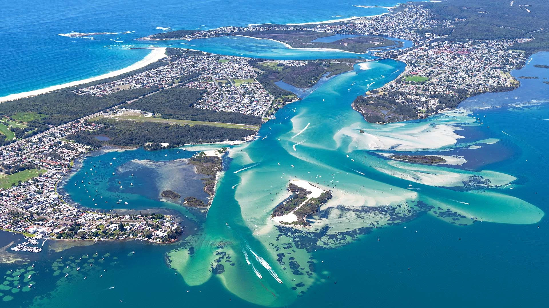
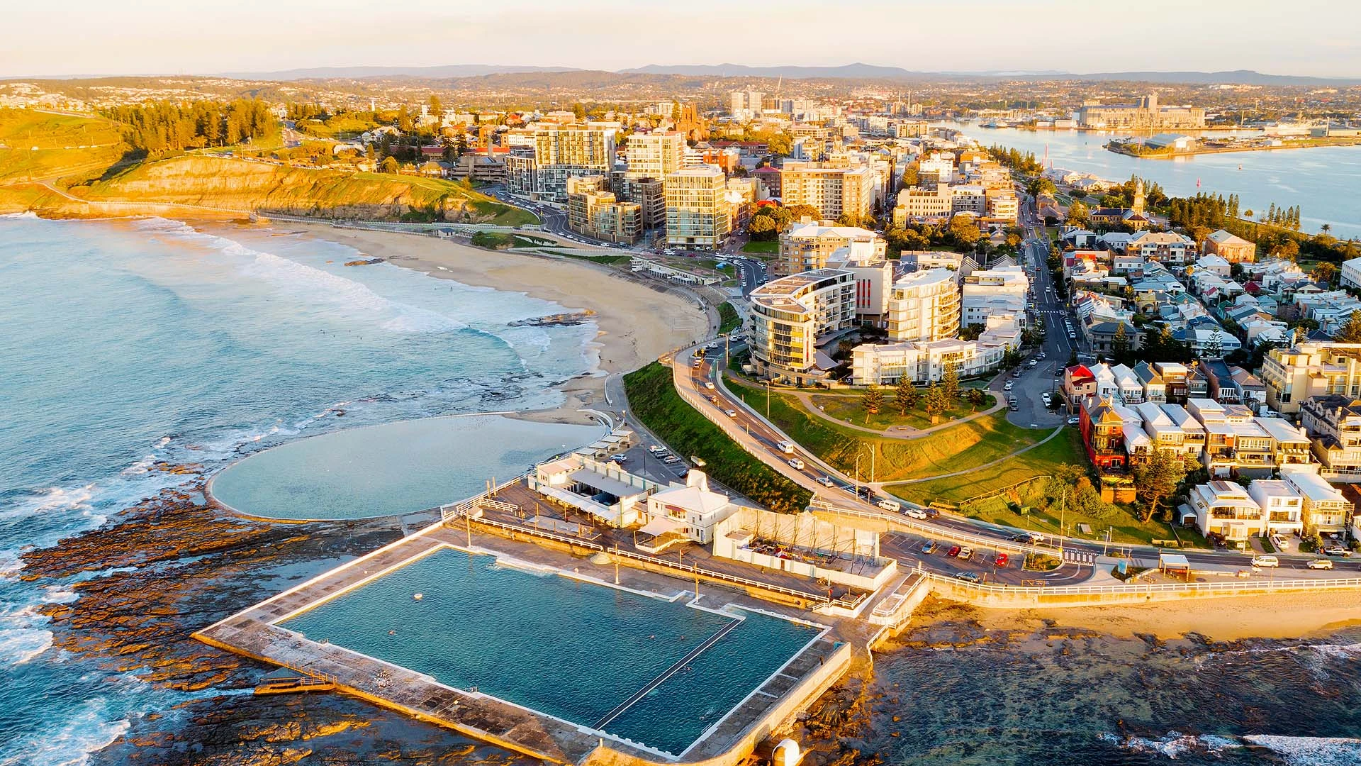
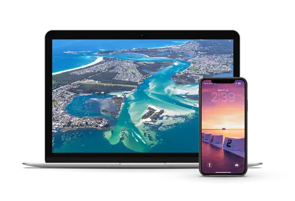
Newcastle Drone & Aerial Photography Portfolio


Newcastle Drone Photography for Commercial Projects
Professional Newcastle drone photography is widely used across industries where perspective, scale, and location are critical to effective visual communication. From construction, real estate, and infrastructure to tourism and corporate marketing, aerial imagery has become an essential tool for modern businesses.
Newcastle drone photography allows organisations to showcase developments, highlight location advantages, and present projects with clarity and impact—capturing context that ground-level photography simply cannot achieve.
By providing a broader, more dynamic perspective, aerial photography strengthens marketing, enhances project documentation, and helps businesses communicate their story with greater precision and visual authority.
Common Uses for Newcastle Drone Photography
Newcastle drone photography is used across a wide range of industries where capturing scale, location, and context is essential. From construction and real estate to tourism, infrastructure, and commercial marketing, aerial imagery provides a powerful visual advantage that helps businesses communicate more clearly and stand out in competitive markets.
Some of the most common uses for drone photography in Newcastle and Lake Macquarie include:
Construction & Development Progress
Drone photography is widely used across the construction industry to document building progress, monitor site activity, and create visual updates for investors and stakeholders. Regular aerial images provide a clear overview of site development and help communicate progress in a highly visual way.
Real Estate & Property Marketing
Aerial images are incredibly effective when marketing residential, rural, and commercial properties. Drone photography helps buyers understand the location, surrounding environment, land size, and nearby amenities, giving listings a significant advantage in a competitive market.
Commercial & Corporate Marketing
Businesses increasingly use Newcastle drone photography to showcase offices, industrial facilities, retail locations, and hospitality venues. Aerial images help communicate the scale, accessibility, and presence of a business location in a way that traditional photography cannot.
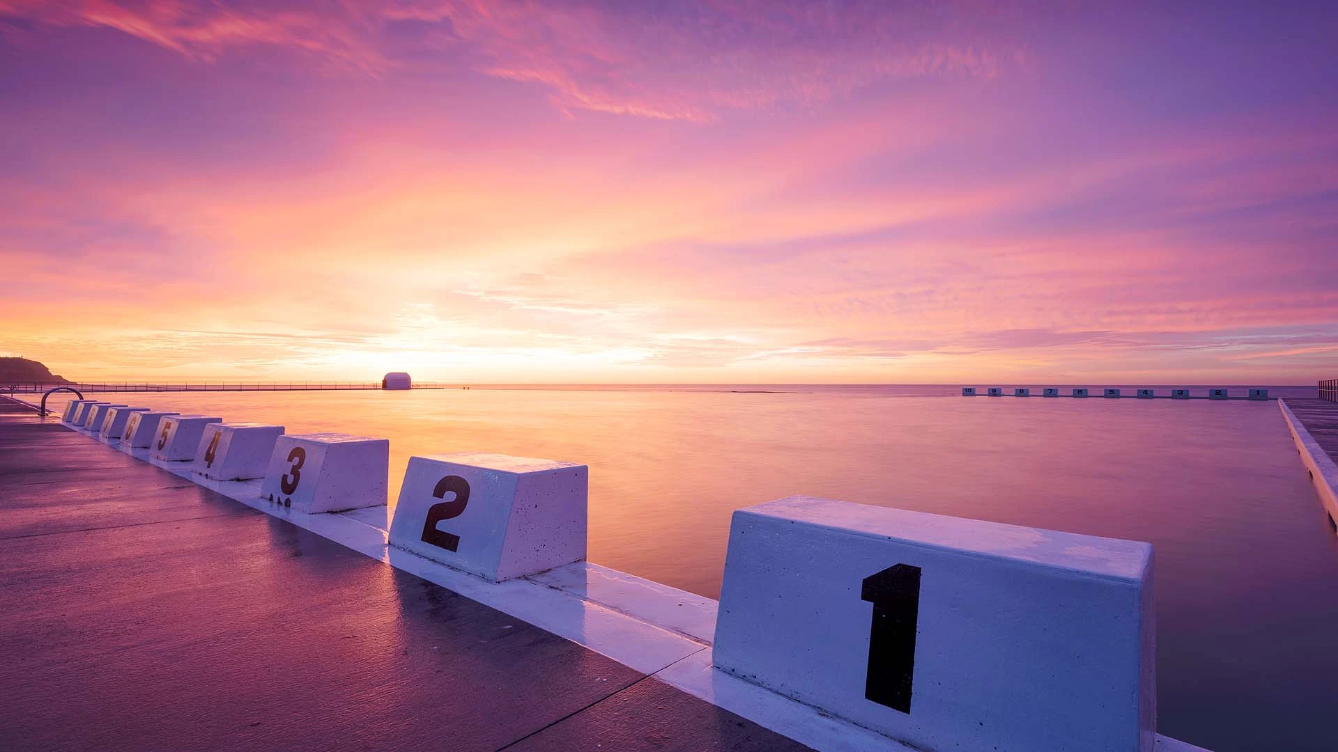
Tourism & Destination Marketing
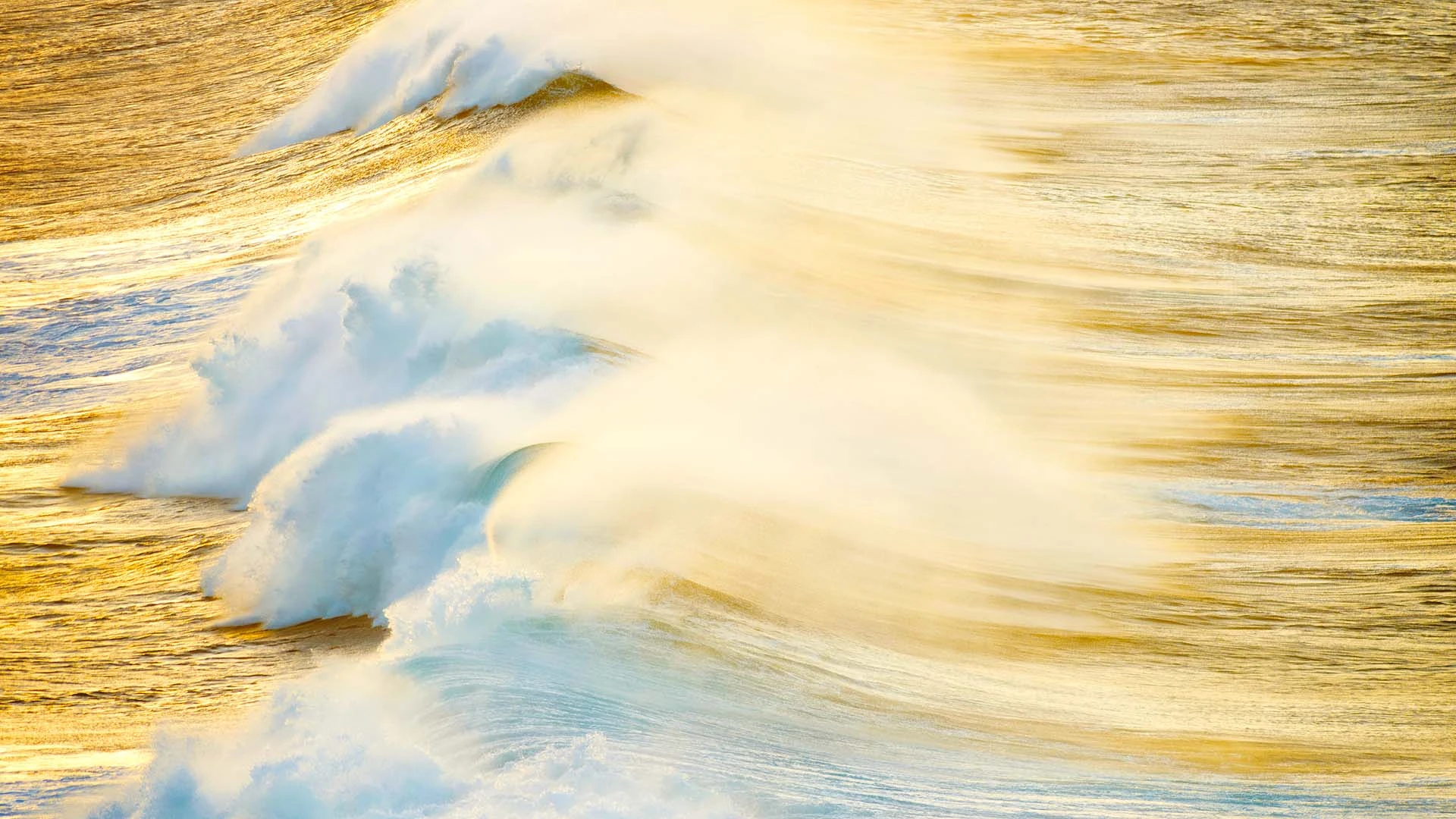
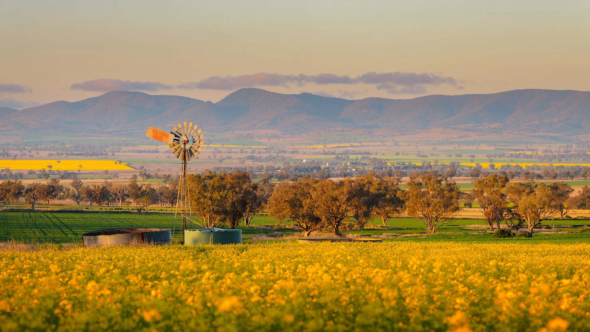
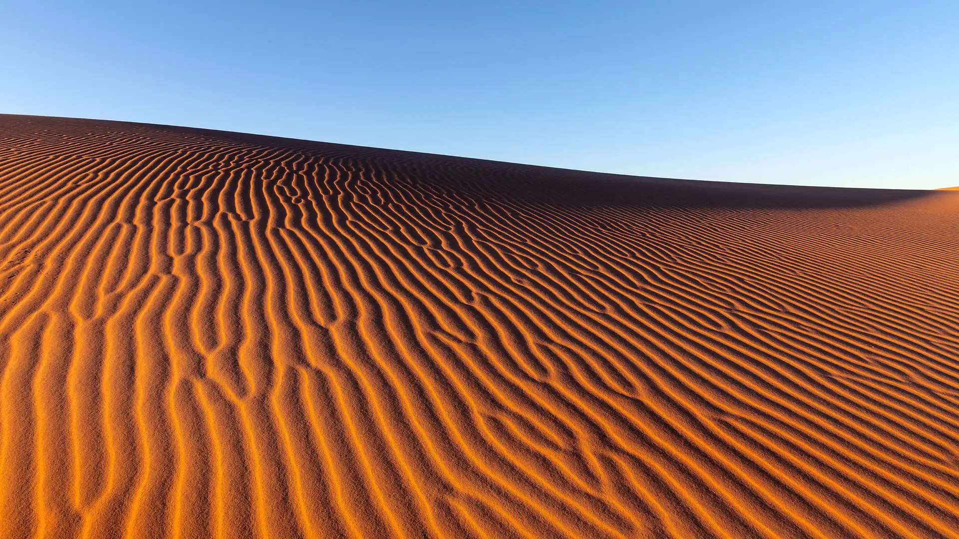
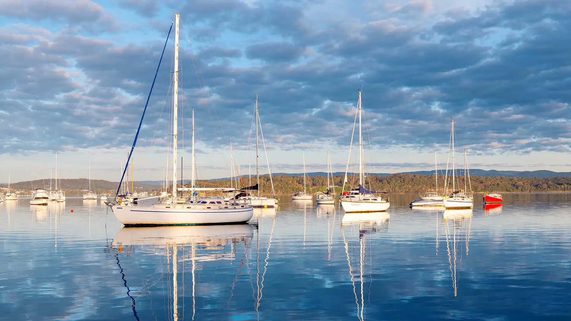
The Newcastle and Hunter region is known for its spectacular coastline, lakes, vineyards, and landscapes. Drone photography allows tourism operators, councils, and marketing organisations to capture the beauty and scale of these locations from a unique perspective.
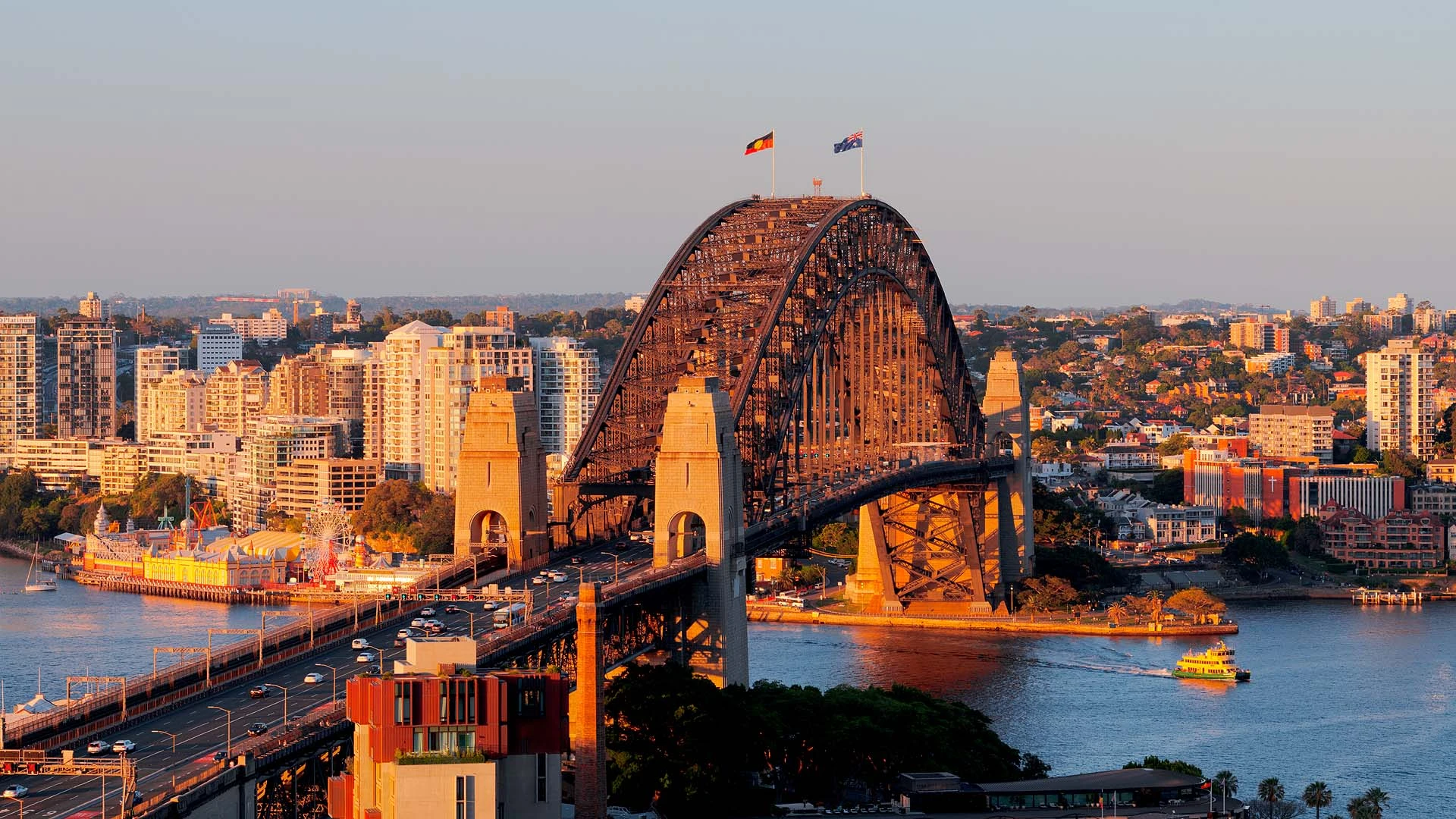
Infrastructure & Industrial Projects
Large infrastructure projects such as roads, bridges, ports, and industrial facilities benefit from aerial documentation. Drone imagery helps communicate project scale and can be used for reporting, marketing, and historical documentation.
Property & Landowners
Many property owners choose to commission aerial photography to capture family properties, farms, vineyards, or coastal homes from a dramatic perspective. These images often become meaningful keepsakes or unique wall art pieces.
By combining technical expertise with creative composition, Newcastle drone photography can transform how projects, properties, and locations are presented.
Why Work With David Diehm Photography
When choosing a Newcastle drone photographer, experience, safety, and image quality are critical to achieving professional, reliable results.
David Diehm Photography combines certified aviation compliance, technical expertise, and a strong creative background to deliver Newcastle drone photography that is both visually striking and strategically aligned with your business objectives.
Clients choose us because we provide:
- CASA-certified and fully insured drone operations
- High-resolution aerial imagery with exceptional clarity and detail
- Proven experience across commercial, industrial, and creative projects
- Careful planning and approvals for complex or restricted locations
- A strong understanding of light, composition, and visual storytelling
Every project is approached with purpose—ensuring the final imagery not only looks impressive, but also communicates your message clearly, strengthens your brand, and delivers real value across marketing and project documentation.